
The UN General Assembly has voted to replace the traditional world map with one that more accurately reflects the size of Africa.
The “Correct the Map” resolution, sponsored by Togo and backed by African Union members, passed with the support of 164 nations, including France and the UK.
The United States was the only nation to vote against it – and there were six abstentions: Estonia, Georgia, Lithuania, Serbia, Moldova, and Ukraine.
The vote is non-binding but will see changes to the maps used by institutions around the world.
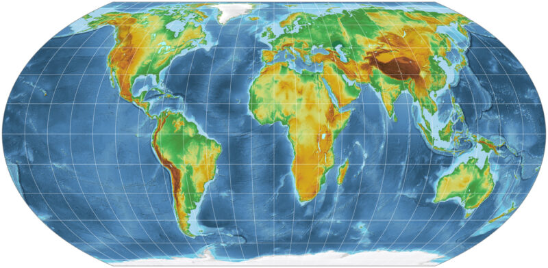
The Mercator map, which has been in common use since the 16th Century, has come in for criticism as it shows Africa as similar in size to Greenland, even though it is 14 times larger.
Designed for navigation, the Mercator projection inflates the size of lands the farther they are from the equator.
This is why landmasses like Greenland and Antarctica appear far larger than they actually are relative to landmasses near the equator.
Northern Europe and North America are similarly magnified, relative to equatorial regions.
Despite its original navigational purpose, Mercator remains common in educational, media, digital and official materials.
The UN resolution says those distortions have contributed to the “symbolic minimization” of Africa and perpetuated an unbalanced view of the world.
It also acknowledges a fundamental problem that no vote can solve: that no projection can perfectly reproduce the curved surface of the Earth on a plane – each sacrifice something – area, shape, distance or direction – and each is suited to different purposes.
For added clarity on the issues relating to maps, see the following educational video: