
T&T is expected to experience inclement weather overnight into tomorrow.
In an update, the Met Service says there is a medium chance (60%) of intermittent rainfall of varying intensities and isolated thunderstorms over Trinidad and to a lesser extent Tobago.
It adds that the Inter-Tropical Convergence Zone is gradually migrating northward and is expected to trigger rainfall and thunderstorm activity later tonight into tomorrow.
The main Caroni River, although elevated due to runoff, is not expected to exceed its banks at this time.
Also, despite current settled conditions, smaller watercourses, such as the Manuel Congo and Caroni (Tumpuna) rivers, may still be responding to runoff from earlier rainfall.
With additional rainfall forecast, the TTMS says there is a risk of localized overtopping, especially in low-lying or flood-prone areas.
There is also a heightened risk of landslides/landslips in vulnerable areas.
Additional impacts include street or flash flooding, localized ponding, gusty winds in the vicinity of heavy downpours which can also lead to agitated seas.
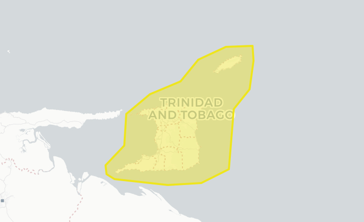
A Yellow Level Adverse Weather Alert is in place until 6PM tomorrow (Monday).
Responses