
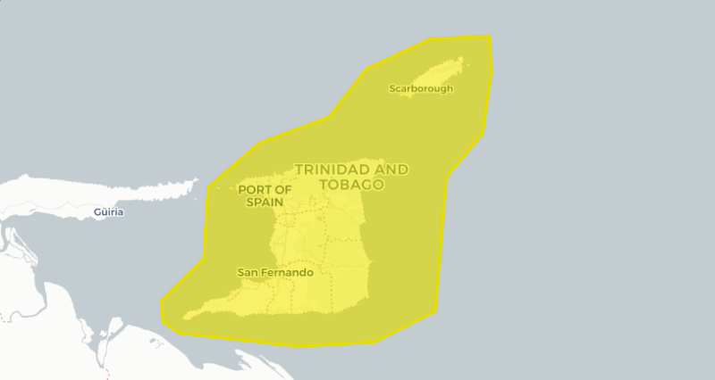
A Yellow Level Adverse Weather Alert will be in place for a portion of the weekend.
The Met Service says low and mid-level south-easterly winds are expected to draw equatorial moisture over the area, increasing atmospheric moisture and instability this weekend.
Moderate winds and substantial concentrations of Saharan dust are also expected over the next few days.
While the dust is expected to limit widespread rainfall at times, there is still the medium potential for heavy showers and isolated thunderstorms.
Impacts may include street and/or flash flooding in prone areas, localized ponding in low-lying areas, landslips and landslides, agitated sea conditions, electrical surges, and the movement of unsecured items and loose vegetation.
The TTMS adds that the ITCZ remains well south of T&T at this time and is expected to move over the area early next week.
The alert will be in place from 6pm on Saturday to 6pm on Sunday.
Responses