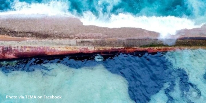
The Energy Ministry says the initial investigative hydrographic survey of the wreck area off the coast of Cove, Tobago has been completed.
In a statement, it says the hydrographic survey data was conducted around the wreck and collected water column data, multibeam bathymetry, and Light Detection and Ranging (LiDAR).
It adds that the collected data would inform a three-dimensional (3D) wire frame map for imagery of the seabed and charts with localized water depth at the wreck.
The survey will help identify any hazards and debris to safely allow for the support vessel to be mobilized to location and alongside the wreck.
Simultaneously, the response team will begin the deployment of the NOFI Current Buster Technology, which is part of the high-speed oil containment system.


Responses