
Today marks the start of the Atlantic Hurricane Season.
It runs from June 1st to November 30th.
The TTMS says is a high probability for an above-normal number of storms and hurricanes to form in the Area of Interest to Trinidad and Tobago.
It adds that this outlook is not a landfall forecast, it only highlights possible tropical cyclone activity in the Area of Interest for T&T.
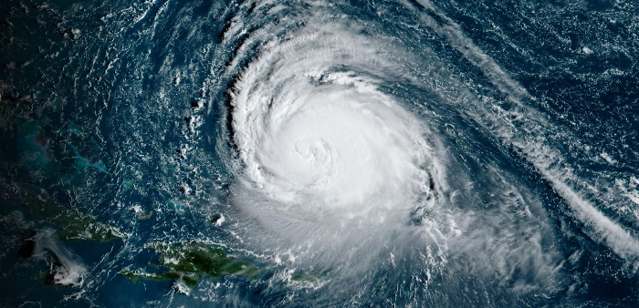
The National Hurricane Centre defines a tropical cyclone as a rotating, organized system of clouds and thunderstorms that originates over tropical or subtropical waters and has a closed low-level circulation.
Tropical cyclones rotate counterclockwise in the Northern Hemisphere.
They are classified as follows:
- Tropical Depression: A tropical cyclone with maximum sustained winds of 38 mph.
- Tropical Storm: A tropical cyclone with maximum sustained winds of 39 to 73 mph. At this stage, a name is assigned.
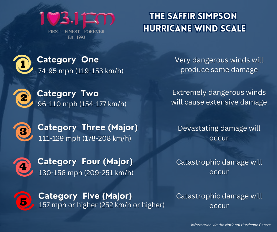
- Hurricane: A tropical cyclone with maximum sustained winds of 74 mph or higher. In the western North Pacific, hurricanes are called typhoons; similar storms in the Indian Ocean and South Pacific Ocean are called cyclones.
- Major Hurricane: A tropical cyclone with maximum sustained winds of 111 mp or higher, corresponding to a Category 3, 4 or 5 on the Saffir-Simpson Hurricane Wind Scale.
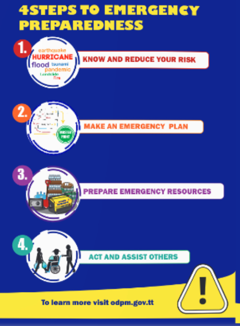
However, persons are advised not wait until an alert, watch or warning is issued to start preparations.
Responses